Townsite Neighbourhood Review
Project Updates
Archaeological, heritage, and cultural use work is complete! Staff worked with Aquilla Archaeology and Tla'amin Nation to better understand the archaeological, heritage, and cultural uses in the area, and how that might inform future land use designations. Please see here.
We also set up a booth at Townsite Day on July 16. You can see the materials we shared here and in the Document Library.
The Phase 1 Engagement Summary report is available in the Document Library, along with the Phase 2 Engagement Summary report.
Help us create a community vision!
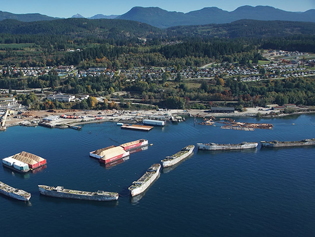
Since adoption of the 2014 Sustainable Official Community Plan Bylaw 2370 (SOCP), the City has purchased more than 230 acres of former mill land in the Townsite designated in the SOCP as Employment Centre, Resource, Waterfront Commercial/Industrial, and Agriculture. Acknowledging public ownership of these significant land holdings, the purpose of this project is to conduct an SOCP neighbourhood review to develop a community vision for these lands and update the land use designation map and Townsite policy sections in response. The engagement process will result in an updated Schedule B Land Use Designations map and revised objectives and policies for section 3.6 Townsite (originally tiskwat) for Council's consideration.
 Land Use Designations from SOCP
To learn more, check out the backgrounders in the Document Library and our project overview video.
Share your ideas by clicking:
- Maps - add your ideas for the future of Townsite on a map
- Ideas - write and share an idea
- Questions - explore frequently asked questions and ask your own

Start Here!
-
Video explains the purpose, scope, and timeline of the Townsite Neighbourhood Review, some key considerations, and how to participate on this website.
Document Library
-
 Townsite Day July 16 2022.pdf (10.4 MB) (pdf)
-
Powell River Townsite OCP Heritage Development Compatible Map.jpg (6.92 MB) (jpg)
-
Townsite OCP Phase 2 Engagement Summary.pdf (2.26 MB) (pdf)
-
Phase 2 Workshop Display Boards (82 MB) (pdf)
-
Phase 2 Workshop Presentation (4.35 MB) (pdf)
-
Townsite OCP Phase 1 Engagement Summary 2021-09-22.pdf (6.08 MB) (pdf)
-
Phase 1 Open House Display Boards (6.03 MB) (pdf)
-
SOCP Excerpt s. 3.6 Townsite (Originally Tees Kwat) (159 KB) (pdf)
-
SOCP Schedule B Land Use Designations (land use map)
-
Sustainable Official Community Plan (SOCP)
-
April 13, 2021 Committee of the Whole - Townsite OCP Neighbourhood Consultation (318 KB) (pdf)
-
COPR Housing Needs Assessment (2020) (4.55 MB) (pdf)
-
COPR Parks and Trails Master Plan (2019) (7.24 MB) (pdf)
-
qathet Regional District Overview Coastal Risk Assessment (2018) (56.4 MB) (pdf)
